Unlocking the Past with Data: Exploring the NHGIS
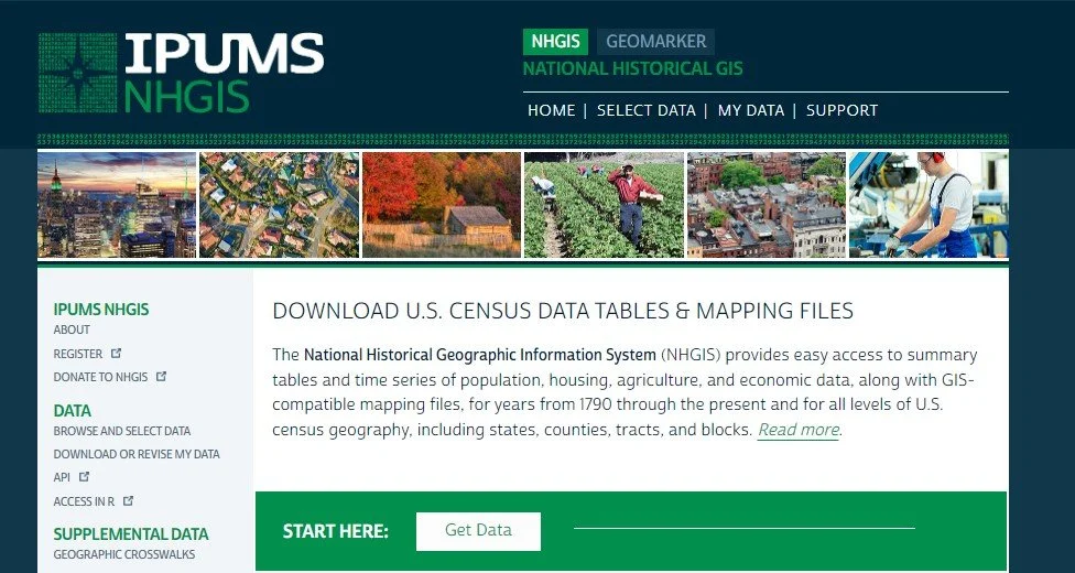
The National Historical Geographic Information System (NHGIS) is an invaluable tool for researchers and historians, providing easy access to a vast array of U.S. census data and GIS-compatible mapping files that span from 1790 to the present. This extensive database includes detailed records on population, housing, agriculture, and economic data across all levels of U.S. census geography, such as states, counties, tracts, and blocks. NHGIS is not only a repository of historical data but also a facilitator of profound insights into the socio-economic transformations of the U.S. over centuries. This system enables users to visualize changes and patterns via detailed mapping, thereby enriching studies in demographic shifts, urban development, and much more.
NHGIS - Home Page
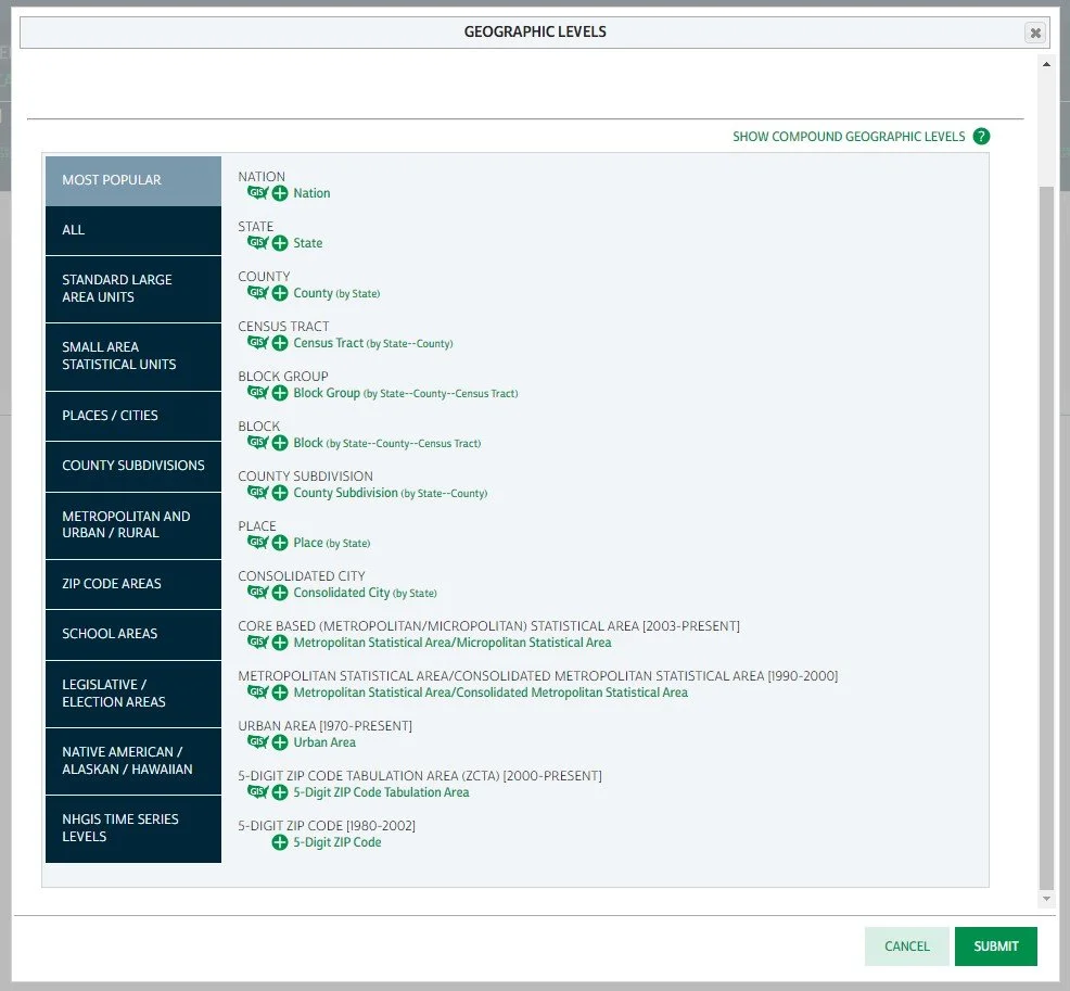
NHGIS - Select Data by Geographic Layers
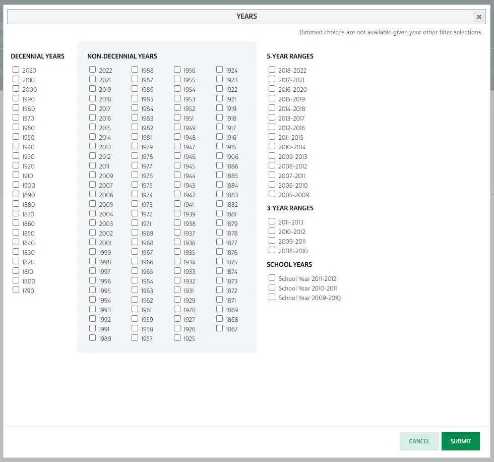
NHGIS - Select Data by Years
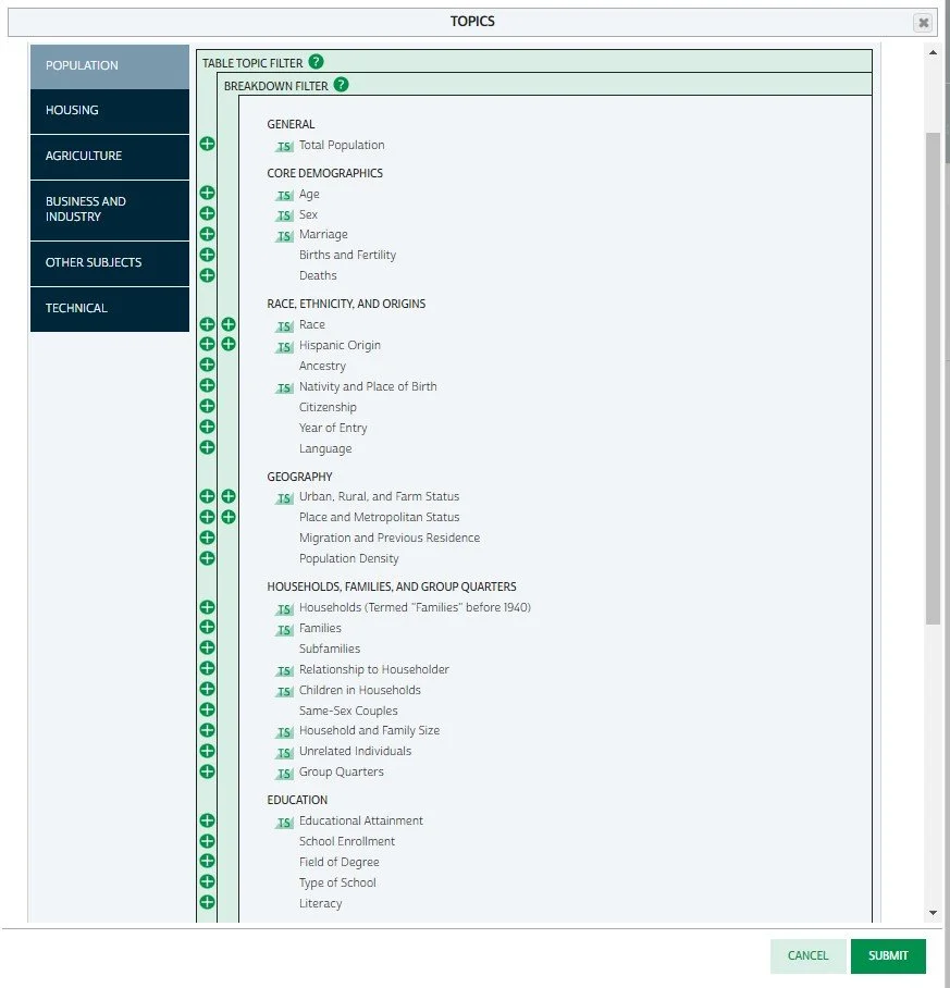
NHGIS - Select Data by Topics
NHGIS - Select Data by Time Series & Topics


