GIS Site Suitability Analysis with the Power of the Post-It
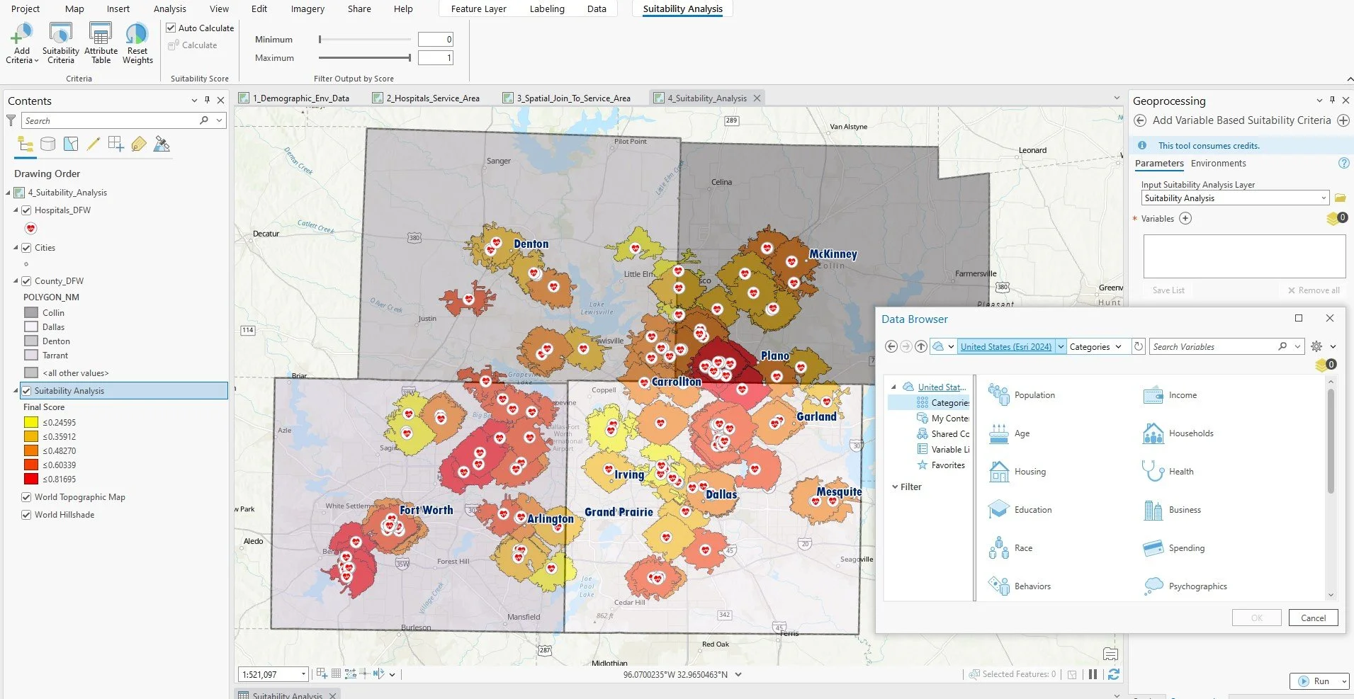
Site selection is a powerful tool for making informed decisions about where to locate a facility, such as a hospital, store, or community center. In ArcGIS, the process involves multiple steps, from setting objectives to evaluating the success of the model. Here’s a breakdown of the key steps:
Define Goal: Clearly establish what you’re aiming to achieve with the site selection process, such as finding the best location for a hospital charity center, a coffee shop, or a yoga studio.
Measurable Criteria: Determine the criteria that will influence your decision—such as proximity to public transport, population density, or available infrastructure. These factors should be quantifiable.
Transform Data: Convert your raw data into a format that can be analyzed. This often involves preparing GIS layers, normalizing values, and ensuring that your data is ready for analysis.
Weight & Combine: Assign weights to each criterion based on its importance, and then combine them. For example, proximity to existing medical facilities might be more important than proximity to shopping areas, so it gets a higher weight in the model.
Analyze & Evaluate Methods: Finally, analyze the output and assess how well your model meets the defined goals. This might involve validation techniques to ensure its effectiveness.
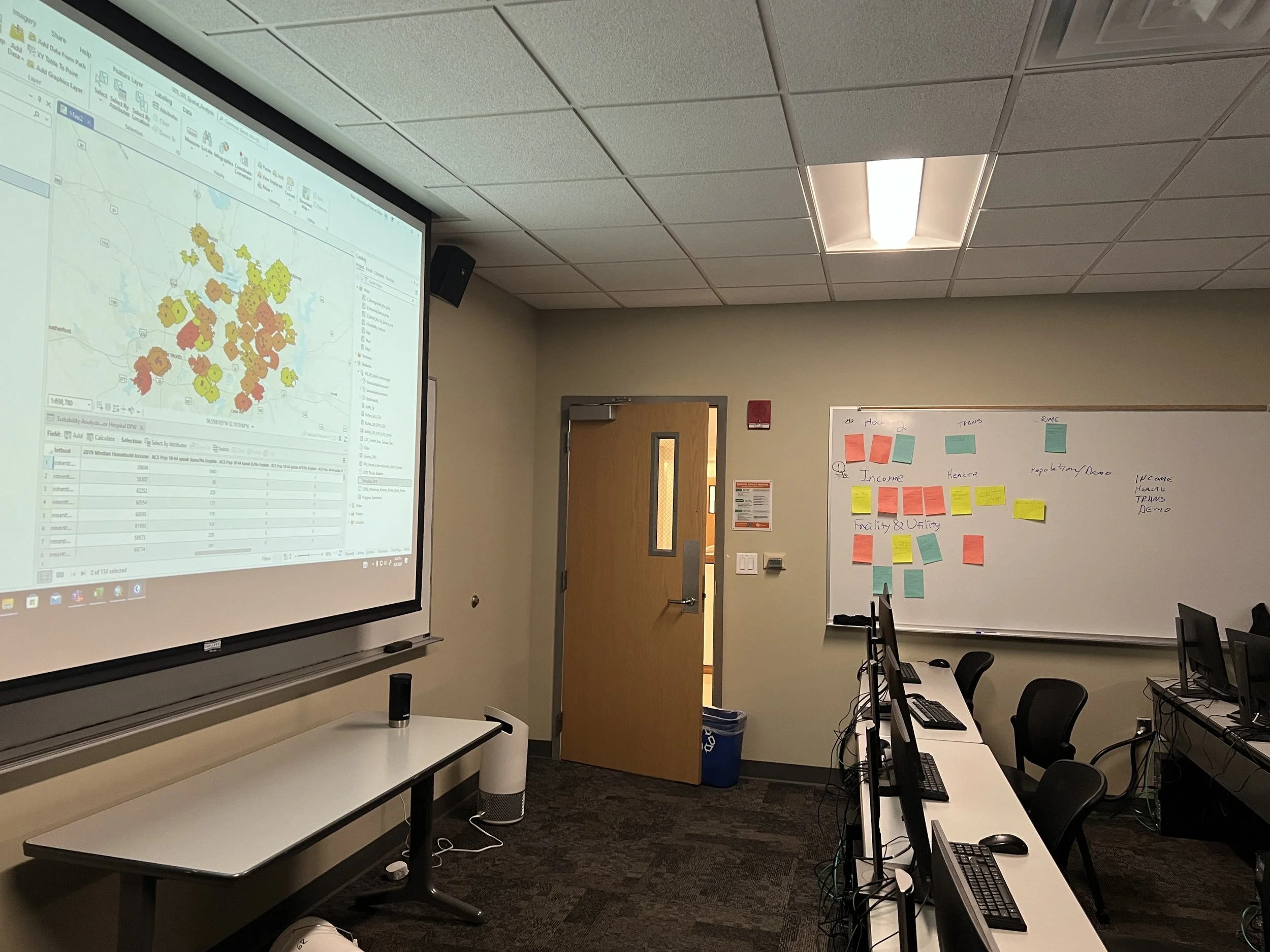
Using these steps, UTD EPPS students learned how to apply spatial data science in ArcGIS to tackle site selection projects. The process is flexible and can be applied across a variety of industries, from healthcare to retail centers.


