Microsoft Global Building Footprints - Steps to Download GEOJSON Files by Quadkey Partitions from Tableau Public
In a significant leap forward for geospatial data, Microsoft Bing Maps has released open building footprints, making 1.4 billion building outlines freely available to developers, GIS professionals, and analysts worldwide. This dataset spans from 2014 and has been gathered from high-quality sources like Maxar, Airbus, and IGN France imagery.
What Are Building Footprints and Why Are They Important?
Building footprints refer to the outline or boundary of buildings as they appear on the Earth's surface. These are vital for a wide range of geospatial applications, from urban planning and environmental impact assessments to navigation and real estate. With the release of 1.4 billion building footprints, Bing Maps has created one of the most comprehensive global datasets of this kind.
The open-access nature of this data, available under the Open Database License (ODbL), means that users can freely download, modify, and use the building footprints for their projects, provided proper attribution is given. This level of openness fosters collaboration, innovation, and accessibility to valuable geospatial information.
More Info: https://github.com/microsoft/GlobalMLBuildingFootprints
History of Data Collection
Since 2014, Bing Maps has been actively collecting and processing building footprint data from multiple trusted sources. The imagery comes from some of the most renowned providers in the geospatial industry, including:
- Maxar: Known for high-resolution satellite imagery, which is widely used for detailed mapping and monitoring.
-Airbus: A leading global provider of satellite and aerial imagery.
- IGN France: France’s national mapping agency, which contributes to the collection of detailed, accurate geographic data.
This release offers comprehensive global coverage, allowing users to access building footprints in a wide variety of countries and regions. Whether you're focusing on highly urbanized cities or rural areas, this dataset provides detailed building outlines that can support numerous applications.
Countries like the United States, India, Brazil, and Japan, Africa, as well as regions like the Persian Gulf, have significant coverage in this dataset, making it easier than ever to perform in-depth spatial analysis.
Applications of the Building Footprints Dataset
1. Urban Planning: Analyze urban sprawl, building density, and infrastructure development in cities across the world.
2. Environmental Studies: Assess the environmental impact of construction and how urbanization affects natural landscapes.
3. Disaster Management: Map out building density in disaster-prone areas for better planning and risk mitigation.
4. Real Estate: Analyze property development trends and identify potential areas for growth.
5. Navigation & Mapping: Use the footprints to improve map accuracy for navigation apps and services.
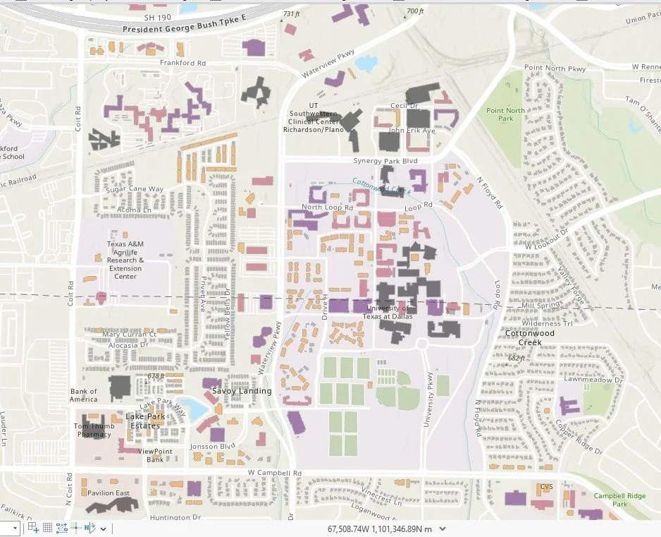
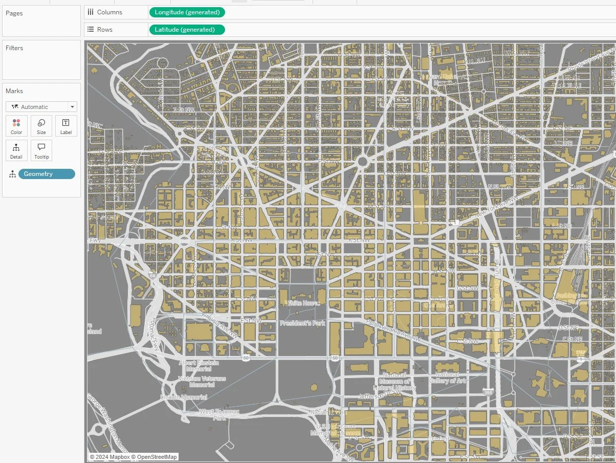
6. Data Visualization: Create engaging visualizations in GIS platforms like ArcGIS, QGIS, and Tableau, or use online tools like MapShaper to explore the data.
How to Download GEOJSON Data
The building footprints are available in a line-delimited GeoJSON format, compressed as `.csv.gz` files. This makes downloading and using the data more efficient, especially when dealing with larger areas. You can access the data directly from Microsoft’s GitHub page, where it is organized by geographic regions and can be downloaded for specific areas of interest.
To get started with Microsoft Bing Maps building footprints, follow these steps:
1. Visit the GitHub Page: Navigate to the [Microsoft GitHub repository] (https://github.com/microsoft/GlobalMLBuildingFootprints) and select the region or country you're interested in.
2. Download the Data: Choose the `.csv.gz` file format for your area of interest.
3. Unzip and Convert: Extract the data, and if needed, convert it into GeoJSON format using tools like ArcGIS, QGIS, or Python scripts.
4. Integrate and Analyze: Import the data into your GIS or data visualization tool to start analyzing and creating meaningful insights.


